There is a great 4.6 km loop walk you can do in the Moturua Island scenic reserve in the Bay of Islands. You can pick it up from four different beaches and it takes you through native forests, over open grassy areas and along ridges where you get stunning views of the neighboring islands. {By the way, this is probably one of my more informative "Going for a Walk" posts - when I reread it, I don't think I found even a single random tangent. Perhaps it is a sign of maturity. Or I'm just getting boring.}
We anchored in Waiwhapuku Bay, a fair weather anchorage on the northeastern side of the island. There were a lot folks on day trip charter boats while we were there. Lots of girls in bikinis and people on kayaks. And then there was us.
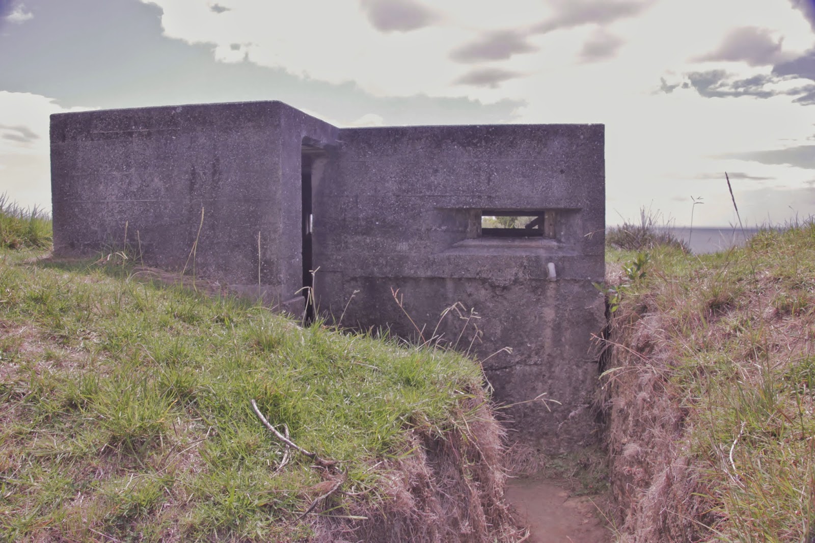
When you walk up from the beach, you run across the remnants of the old Army base on the island, which is why Waiwhapuku Bay is also known as Army Bay. During WWII, there were minefields throughout the Bay of Islands and Army Bay was the place where they controlled all the mines.
From Army Bay, you walk up to Hikurangi Pa on the headland. The Maori term pā often refers to hillside forts. The Maori built a pā on this part of the island because of the 360 degree views, so it only made sense that it was later turned into a defense observation post during the war.
If you go inside, it isn't all that exciting. I can't imagine being stuck inside peering through the opening and keeping an eye out for an invasion of the homeland.
From Hikurangi Pa, we headed down to Mangahawea Bay on the western side of the island. It is a nice, sandy beach which is home to oystercatchers and the endangered New Zealand dotterels. Oystercatchers are funny little birds with their red beaks and pink legs. They always seem so busy. Except for this lazy one lying down.
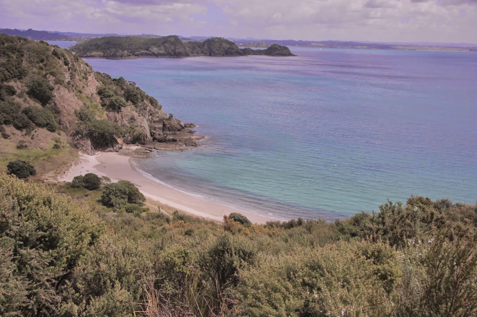
Here is what the bay looks like from above. Pretty little place. I think that is Roberton Island in the background. Also known as Motuarohia Island. That is a another pretty little place. Sadly, we didn't get back to it on this trip.
Next, you head over to Waipao Bay on the southwestern side of the island. This is one of those famous Captain Cook landed here kind of places. Just like cruisers, Captain Cook needed to top up his water supply from time to time. The Endeavour stopped here in 1769 and hung out for a week. It's a pretty island, so I can see why.
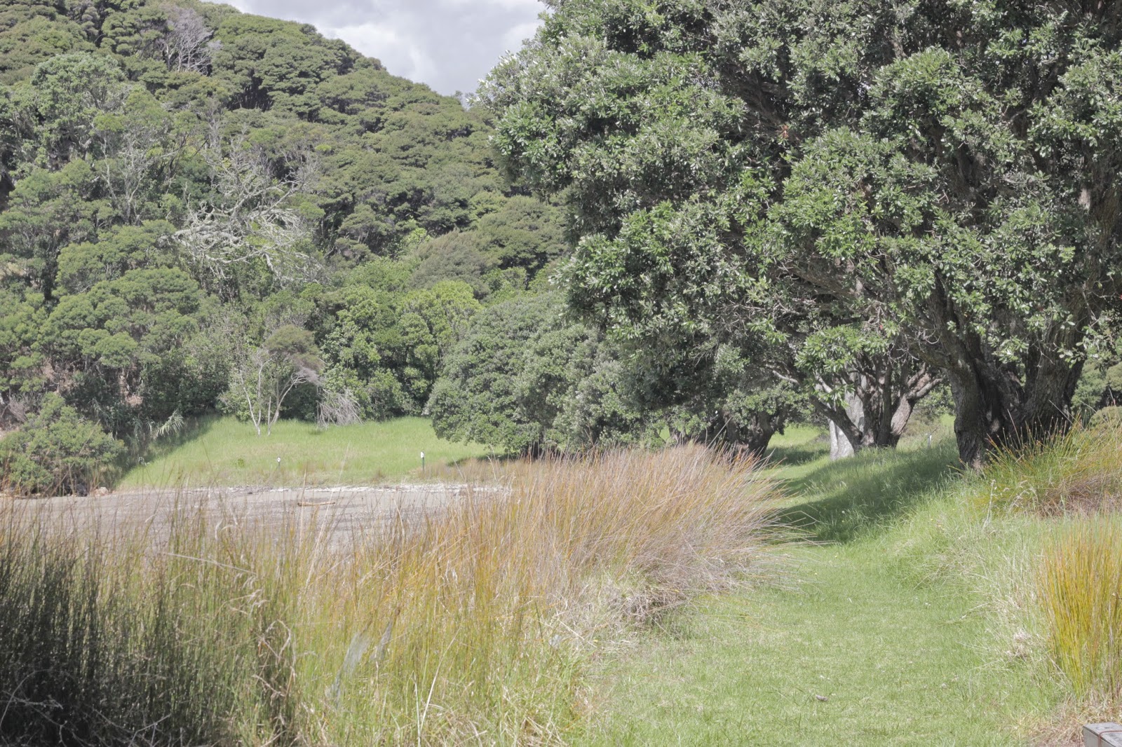
I think this is Waipao Bay. We don't always do a great job labeling our photos.
The next European to visit Waipao Bay was the French explorer Marion du Fresne in 1772. His group spent two months on the island where a forge and a hospital tent were set up (many of the sailors had scurvy). After his relationship with some of the Maori soured, he and some of his crew were killed while fishing on the mainland. Supposedly, the French buried their claim to all of New Zealand in a bottle somewhere along the stream near here.
It's also possible this is a picture of Waipao Bay. If you've been there, can you let me know if either of these shots are from there?
From Waipao Bay, you cut across the island through native forest to get over to Otupoho Bay on the eastern side. The southern part of the island is privately owned, so you can't meander over there. However, you can anchor in Awaawaroa Bay (or Pipi Bay) and enjoy the views. We did that a few years ago on one of our whistle stop charter boat trips in the Bay of Islands.
I'm pretty sure this is Otupoho Bay. Maybe.
And then from Otupoho Bay, you have a short meander back to the starting point - Waiwhapuku Bay. I'm 100% certain that this is a shot of that bay.
Walk on Tuesday, 4 March 2014


No comments:
Post a Comment
We LOVE when people leave comments. It's so much more fun hearing what you have to say. If you have a blog, make sure you leave a link and I'll be sure to pop on by.
Note: Only a member of this blog may post a comment.